August 6-9, 2021 Rainier Silver Springs campsite
Maddy and I had reserved a long weekend at the Silver Springs campground near Rainier National Park, on the Sunrise/White River side of the mountain. We had a spot reserved Friday night through Sunday night, leaving Monday. Car camping is always fun, you can bring so much stuff! Especially food and drink.
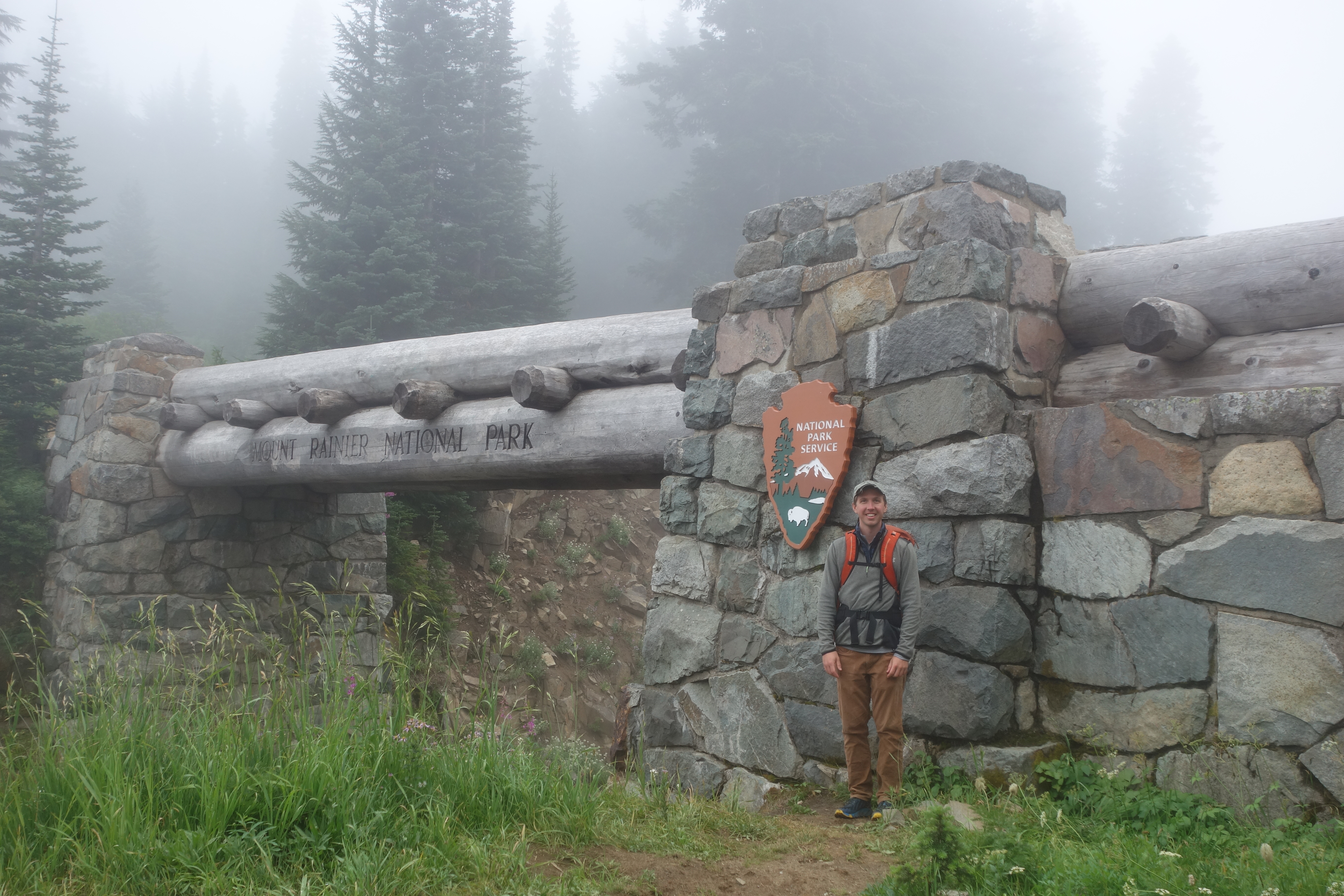
We drove down on Friday mid-morning, with a quick stop in Enumclaw to fill up the cooler and get anything we had forgotten. We drove to the Silver Springs campground, which is less than a mile from the border of Rainier National Park, and about 10 miles away from the White River / Sunrise entrance.
Having climbed Rainier twice via the Emmons route, I was already familiar with the White River entrance, but yet had never been up to Sunrise. Unfortunately, the weather forecast wasn’t looking too good, mostly clouds and some rain over the weekend, with sunshine forecasted for Monday, which was the day we were scheduled to leave.
Maddy had accidentally reserved two camp sites, so we chose the best one of the two (site #1!) and set up the tent in the Friday afternoon. We decided that we had better make hay while the weather cooperated, and drove up to Sunrise to see what it was like.
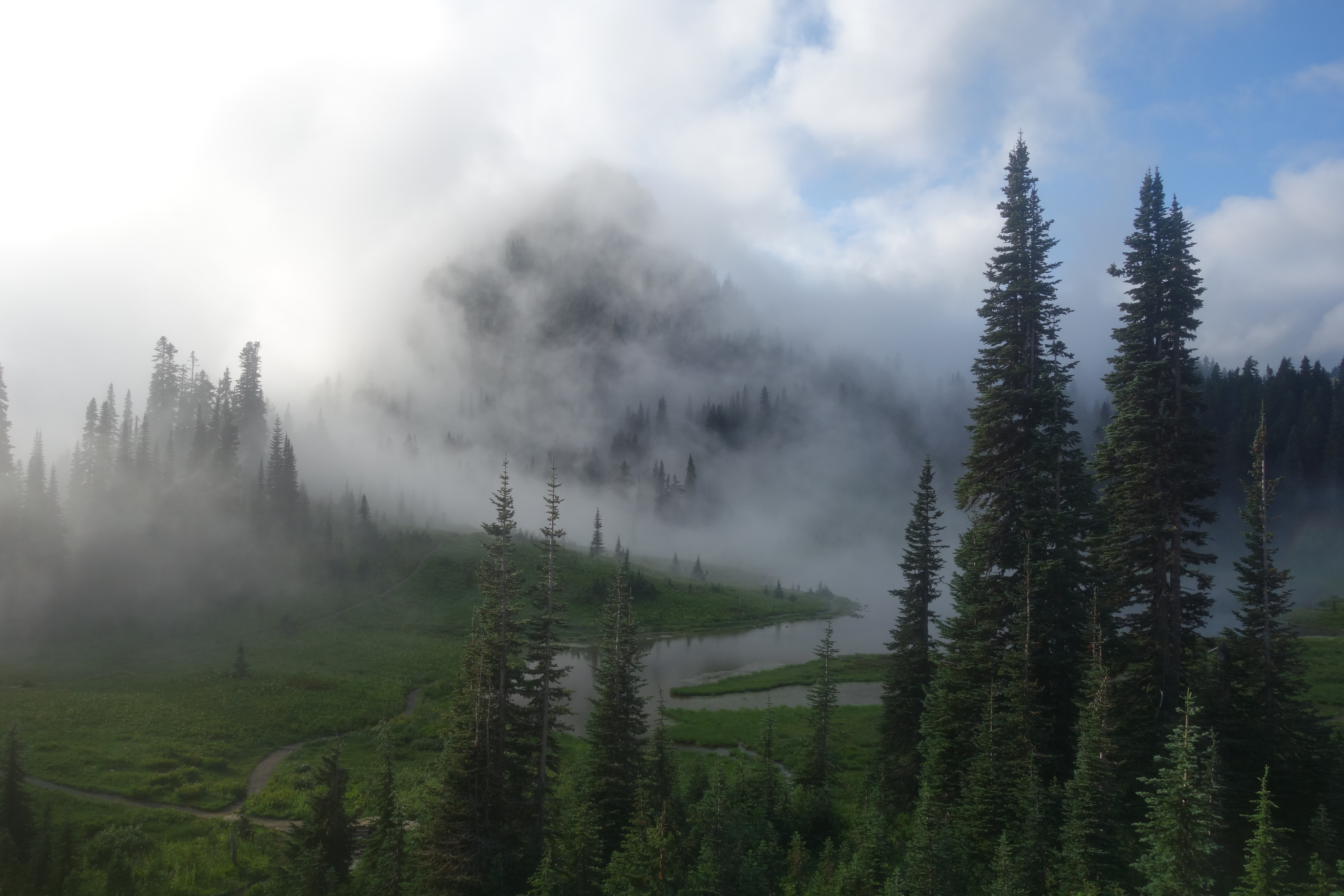
A 6.5 mile hike to the Fremont Lookout Tower sounded like it was about the right distance for the time of day, and so we started hiking out of Sunrise. The clouds were covering the mountain, and as we hiked the trail we came up against the bottom of the clouds. We passed Frozen Lake which still had a snow field periodically breaking off into it, turning into bergey bits in the icy lake. We made the turn to the lookout and continued into the wind and clouds, passing a few people returning from the hike.
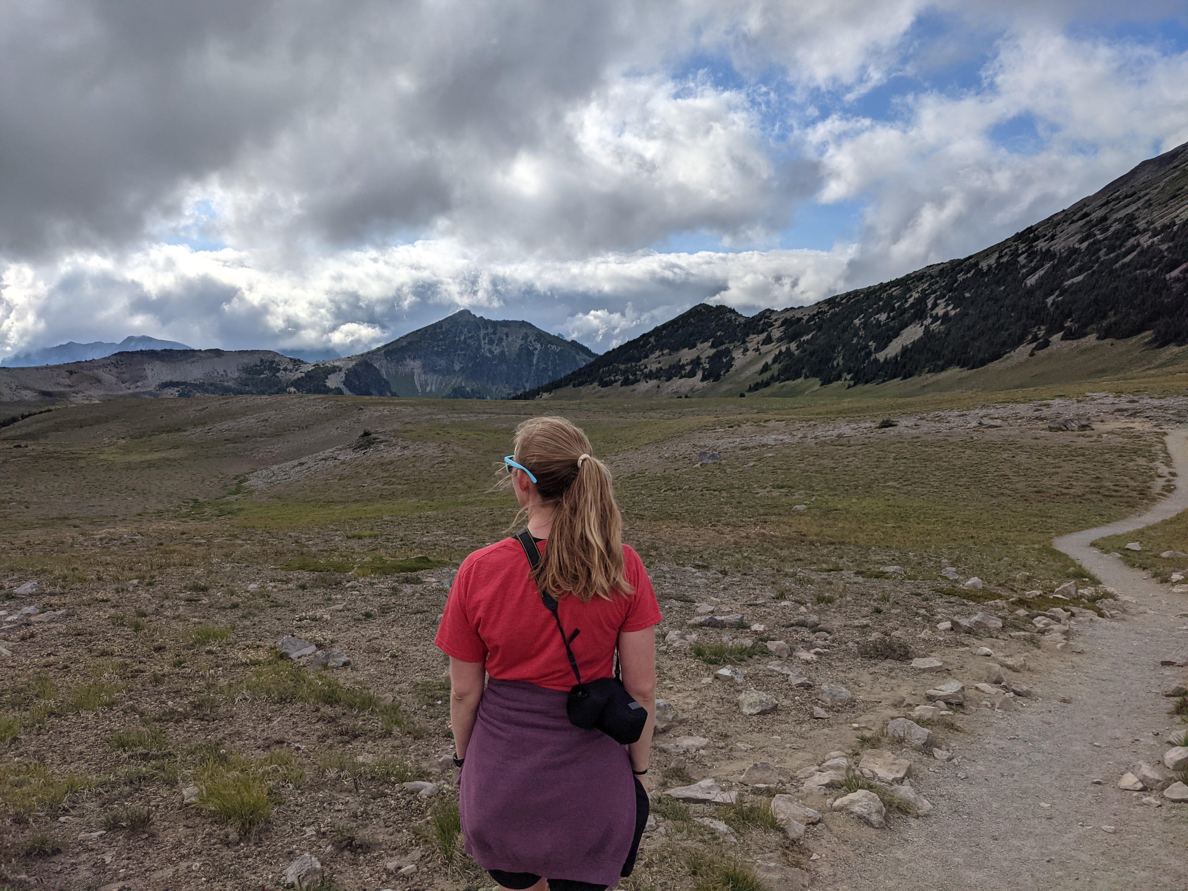 Near Frozen Lake
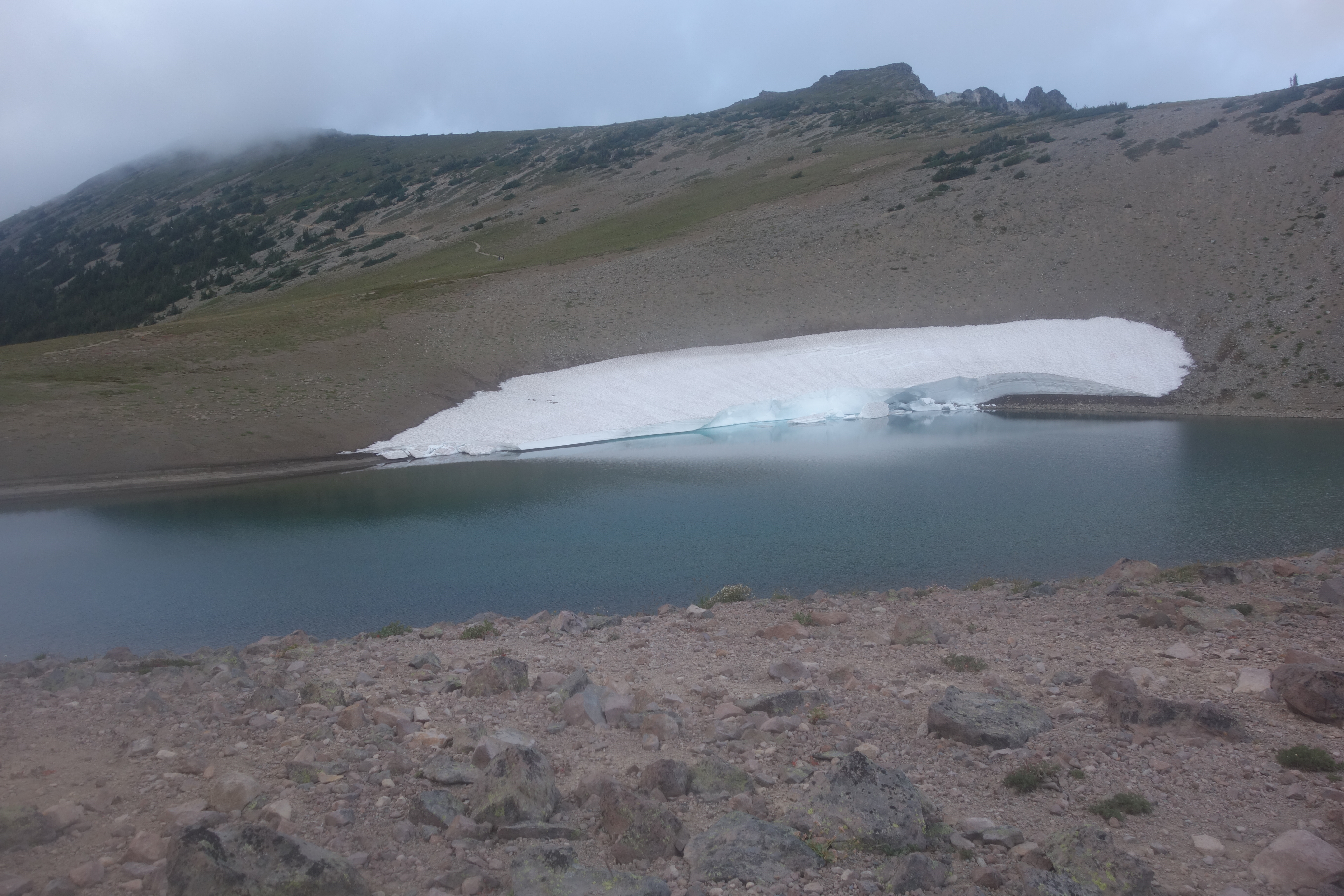 Frozen Lake
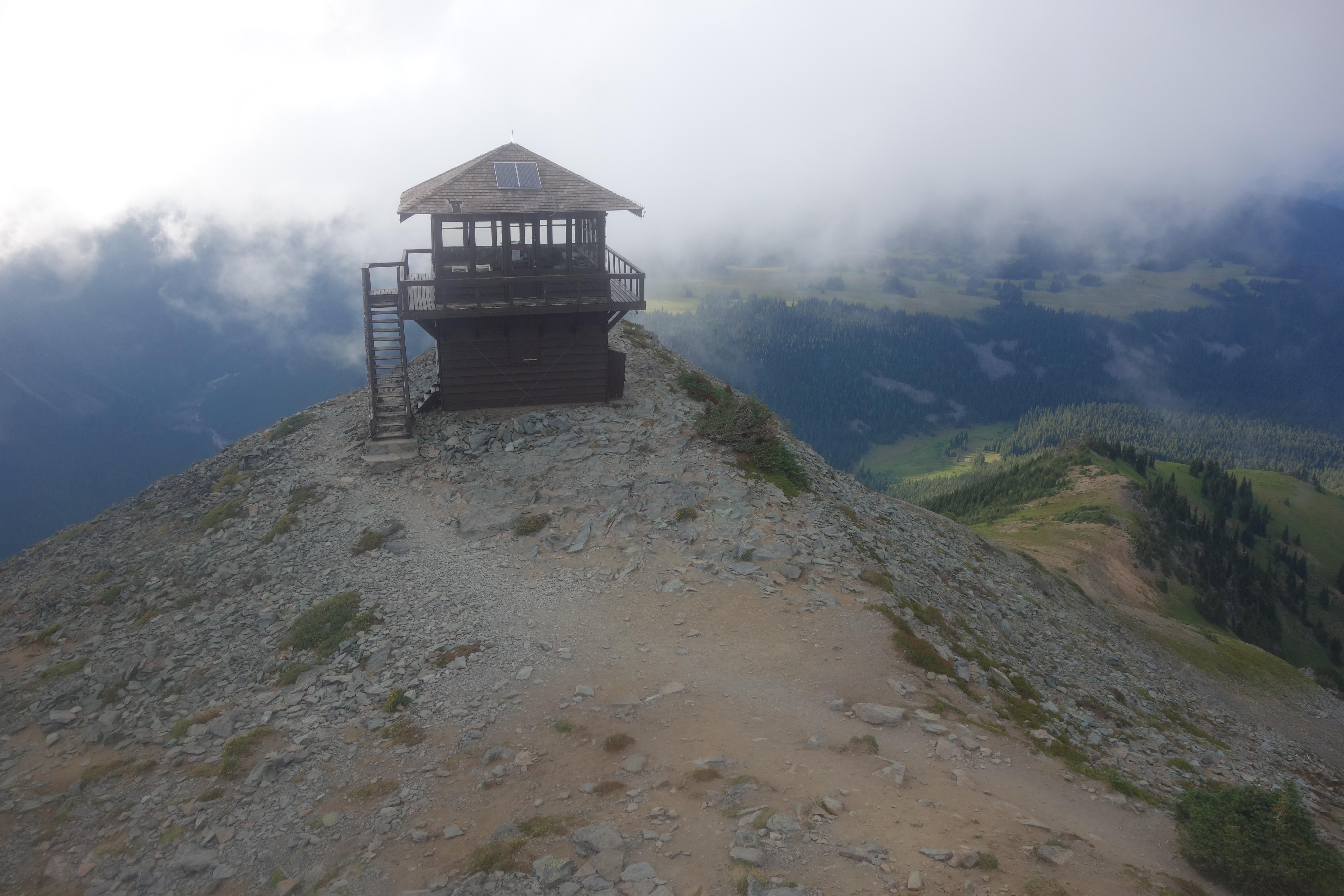 Fremont Lookout Tower
At the lookout tower, we were the only ones there (except for the many chipmunks who were living the good life off of dropped hiker snacks), so we climbed up and walked around the tower, looking in. One side was strongly in the wind, so we huddled in the leeward side to recover some warmth. Some lookout towers in Washington you can enter and even stay overnight in, but this one was locked up tight.
Once we started getting too cold, we started to head back down the trail, and took the Sourdough Ridge trail back toward Sunrise. It looked like there was a photography class going on, but I fear that with the clouds and low light they wouldn’t get many good shots. Headed back down to the campground for the night.
We wanted to get an early start Saturday, since we knew that any Saturday in August will be jam-packed at Rainier, even though it was supposed to rain all day. We got up at 7 and immediately got in the car and drove to Paradise. It was raining pretty constantly, and we were inside of a cloud, yet we couldn’t believe how many people were there! The Paradise parking lot was ~80% full by the time we got there, although there is more parking lower down and on the Stevens Canyon road too. It was 100% full by the time we left in the afternoon.
We didn’t really have a concrete plan of where we were going, but we just started walking around Paradise, and eventually started heading up towards Panorama Point. The rain and wind made sure that we didn’t ever stop for too long, lest we start to freeze. We stopped quickly at Myrtle Falls, and then hiked up the Golden Gate trail towards Panorama Point.
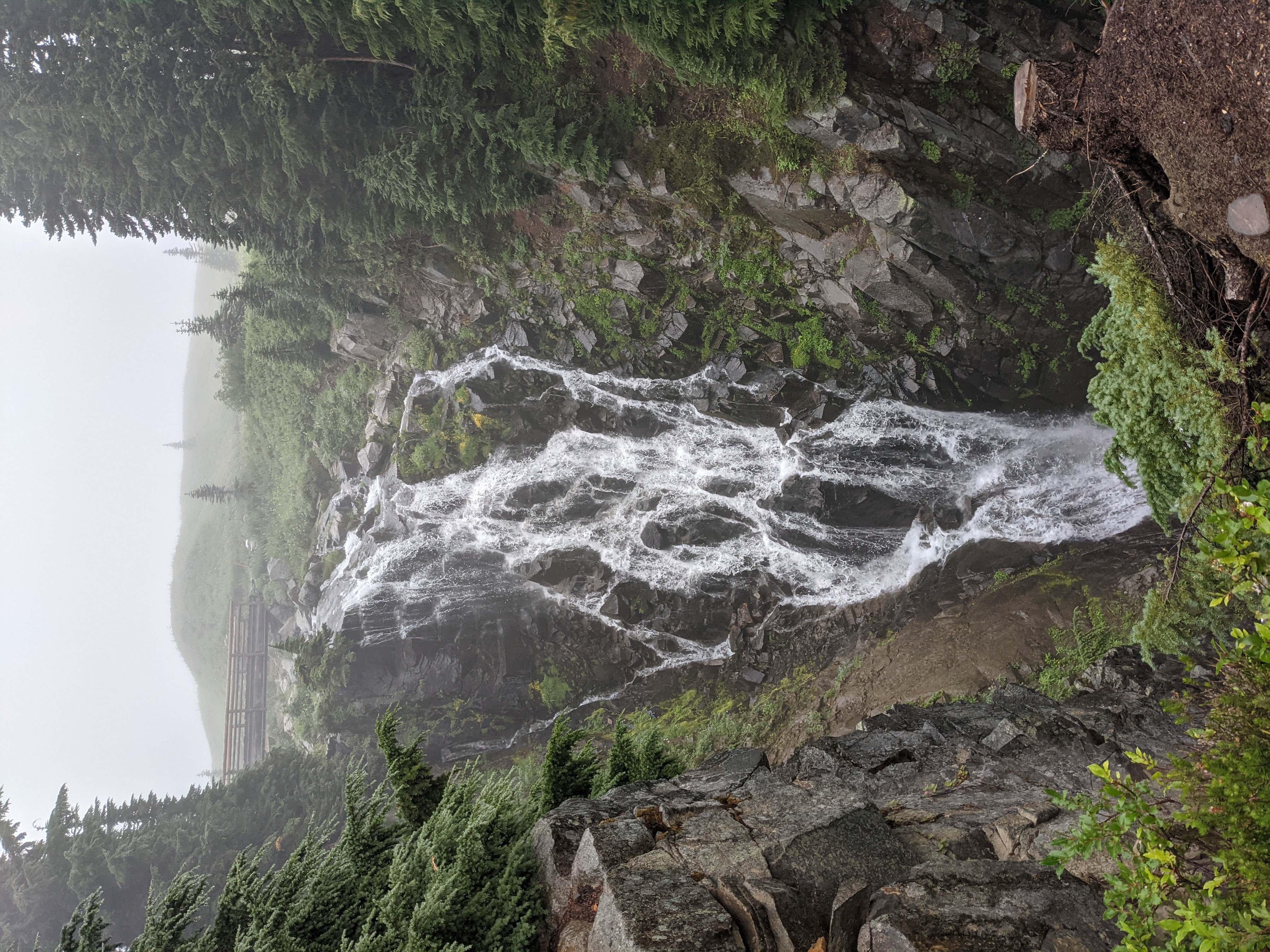 Myrtle Falls
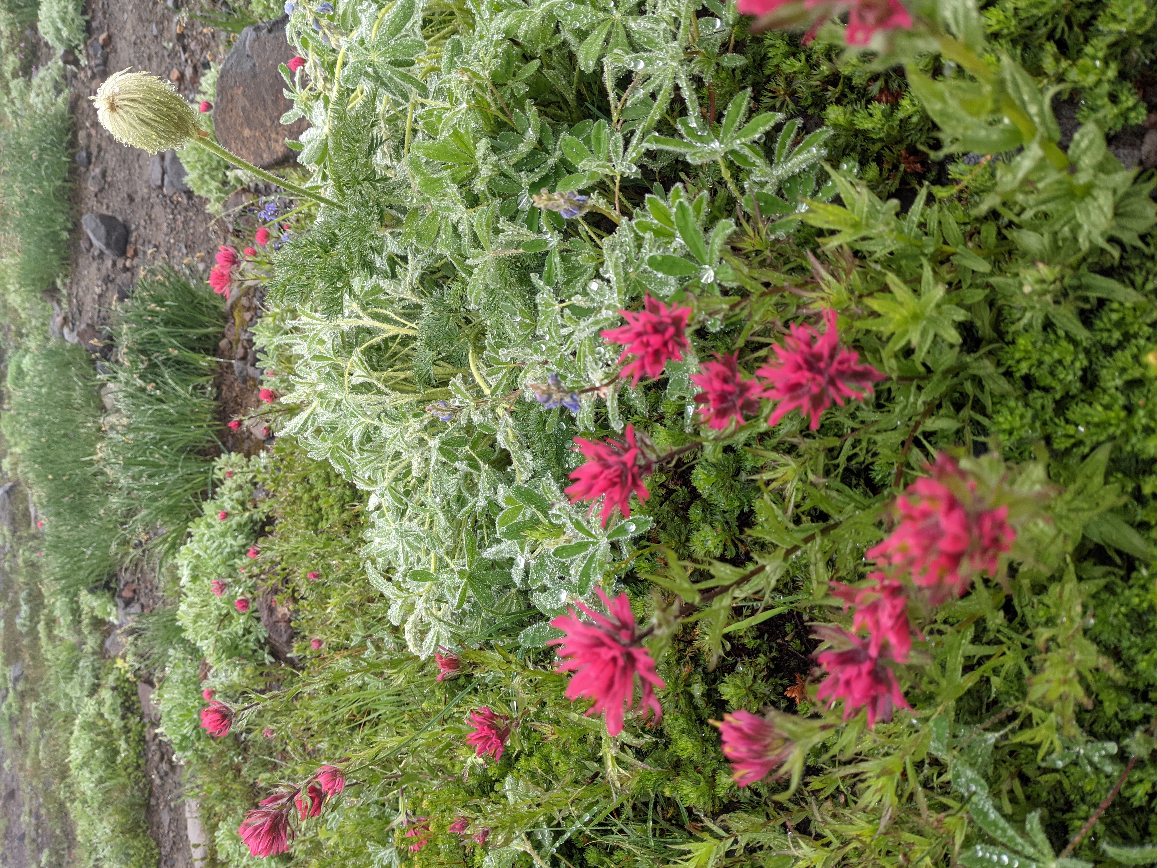 Wild flowers soaking up the rain
After a few miles, we popped out a couple of hundred feet above Panorama Point, but the visibility was around 100 feet, and we were getting blasted by wind and weather, so no real point going to it, so we headed back down on the Skyline trail. We passed a hiker couple where the woman’s hands seemed to be freezing, but another person was giving her some hand warmers. Going down, we passed Sluiskin Falls and the turnoff for Paradise Glacier, but were cold and wet so we just wanted to go back to the car.
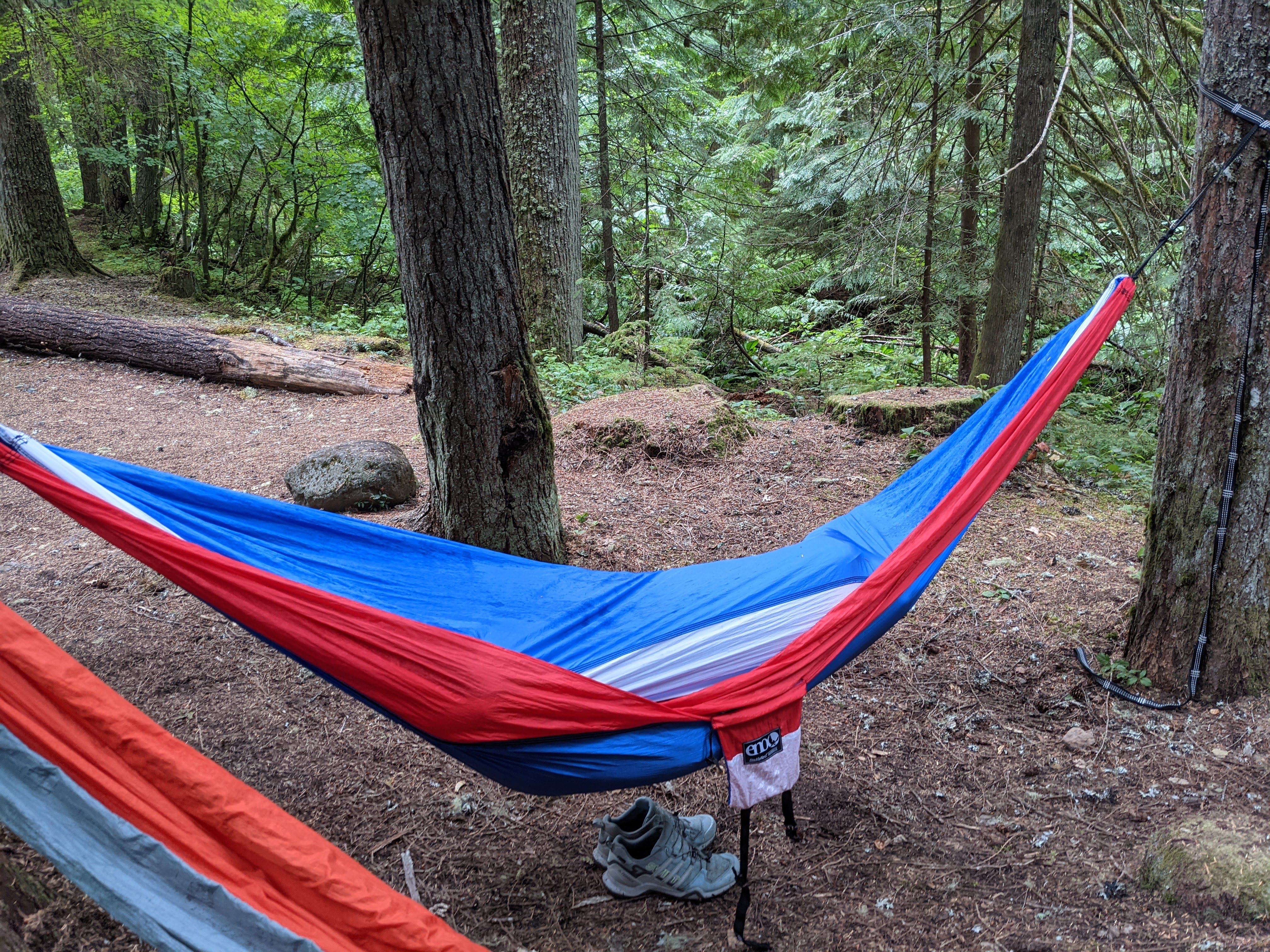
We passed a posing marmot who was attracting a lot of photos. Top notch marmot. Back at the car we attempted to dry off and headed back to the camp site, where we cooked a pound of bacon, and ate it all! Then we hung out around the camp site, where it was dry-ish, reading and napping in the hammocks trying to stay dry.
 Paradise in the rain
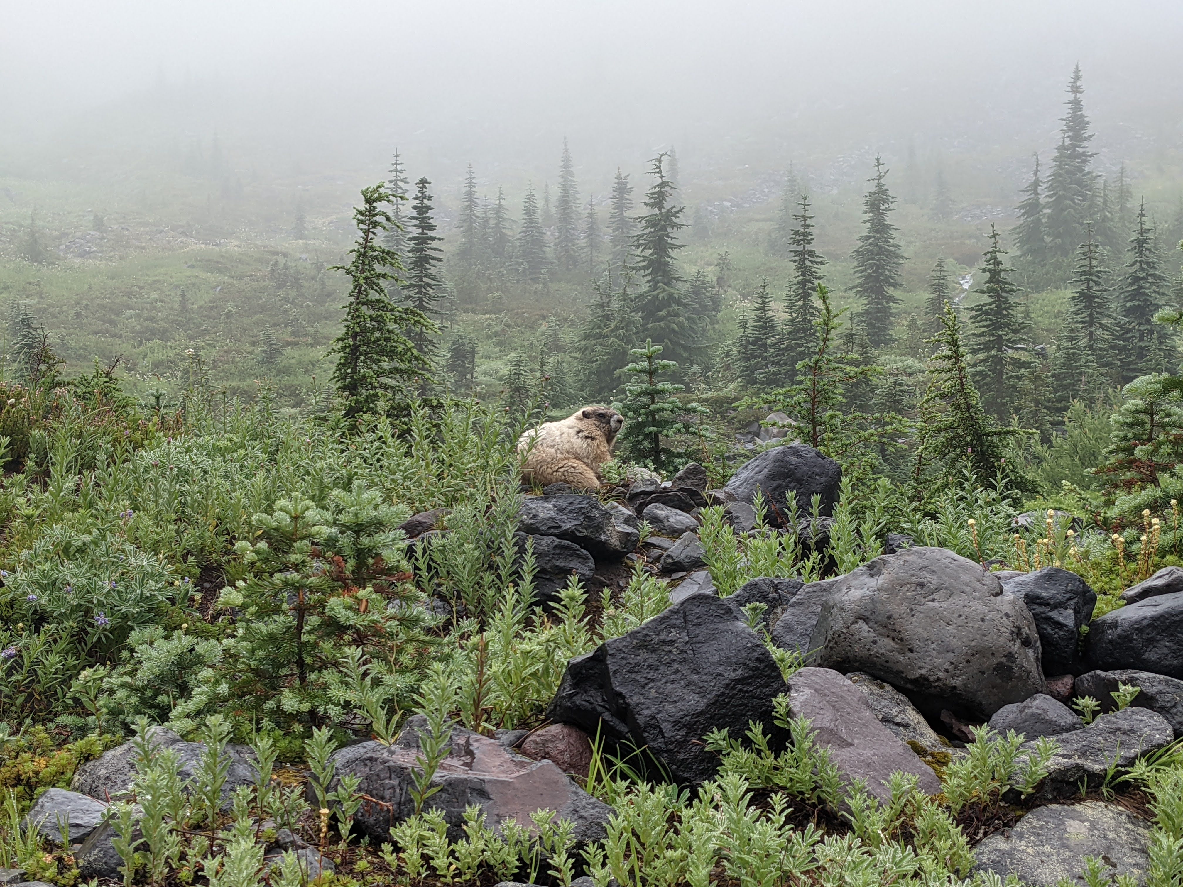 Posing marmot
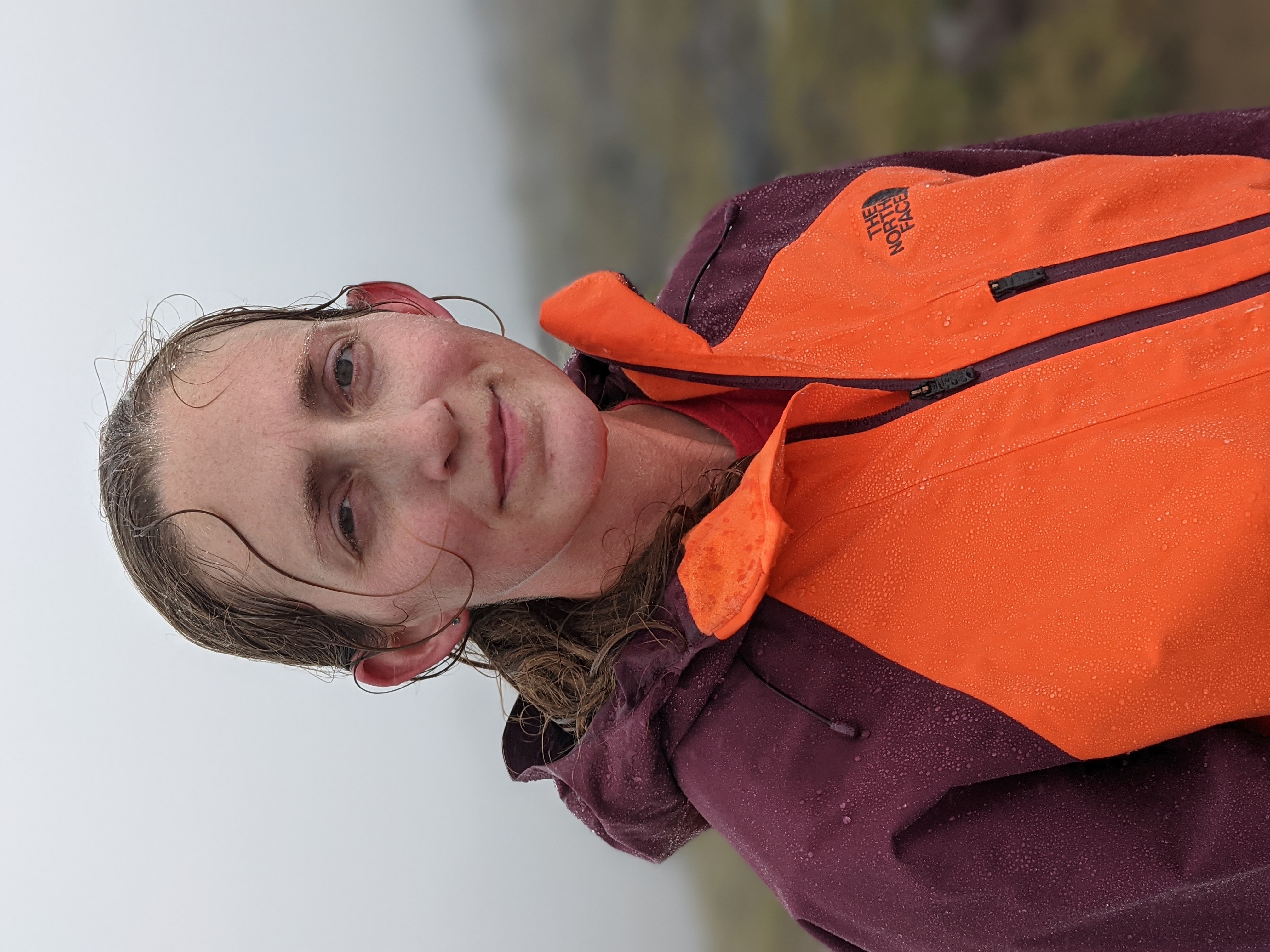
 Back at the campsite. There’s a person in there somewhere.
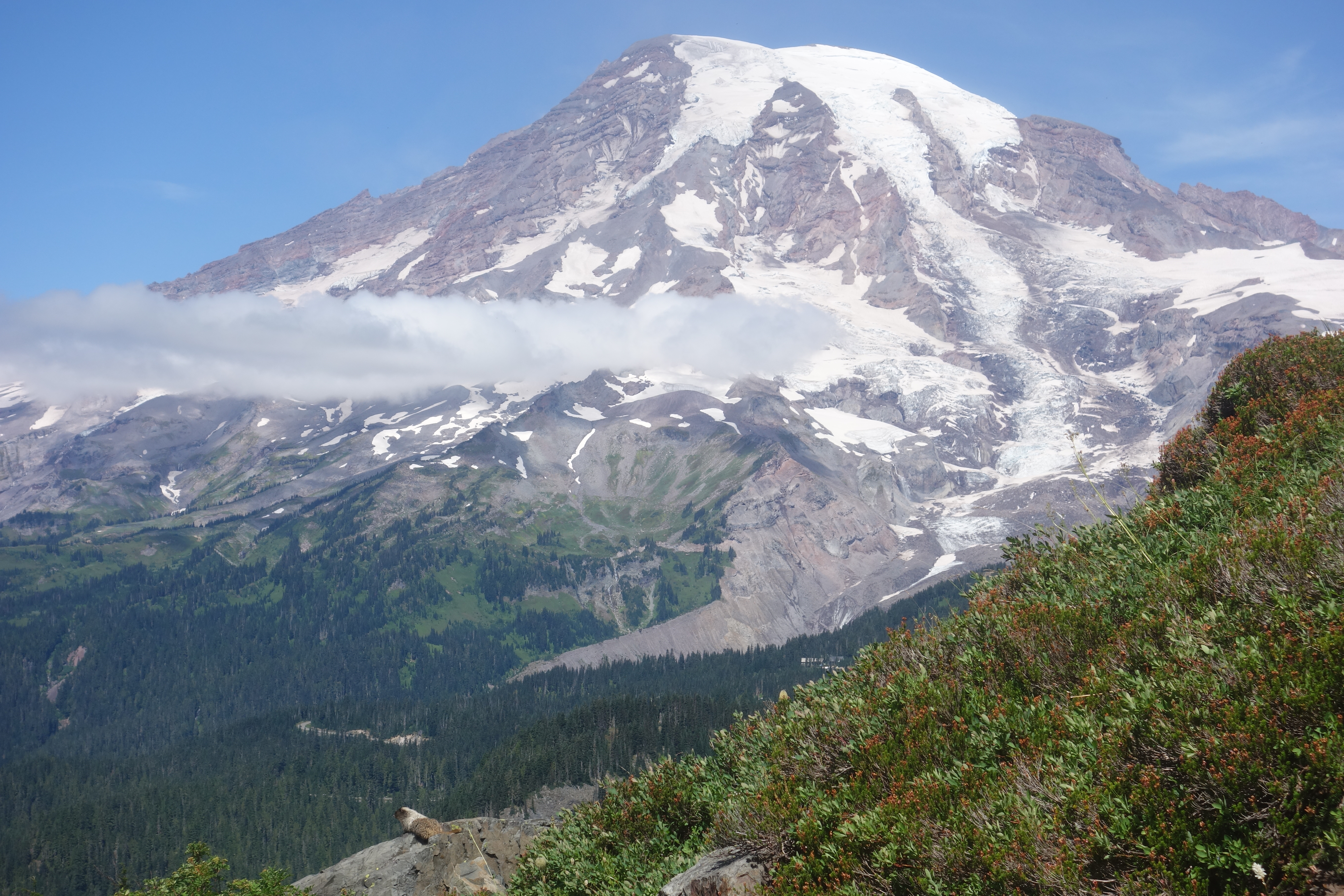
Saturday night into Sunday, the weather turned and started clearing. With some decent views, we again headed up to Sunrise and aimed to hike the 9 mile Three Burroughs trail. It was still pretty cold and windy, and the cloud cover would sometimes open up to fully reveal Rainier, and then a few minutes later completely close it off again. But we had some great views of the Emmons glacier and the route to climb, which looked super gnarly and busty. I have climbed via the Emmons route in mid-July 2015, and again at the end-of-July 2017, and wouldn’t have wanted to climb it in its current conditions.
The snow level seemed really high getting onto the Inter Glacier, and lots of dirt, rocks, and debris on the lower part of it. I had never seen full-on crevasses on the Inter Glacier before, the most I’d seen was cracks in it. The Emmons glacier also looked really busted up, especially above the Corridor, but there were some tracks high on the mountain so it appears that people were still climbing it.
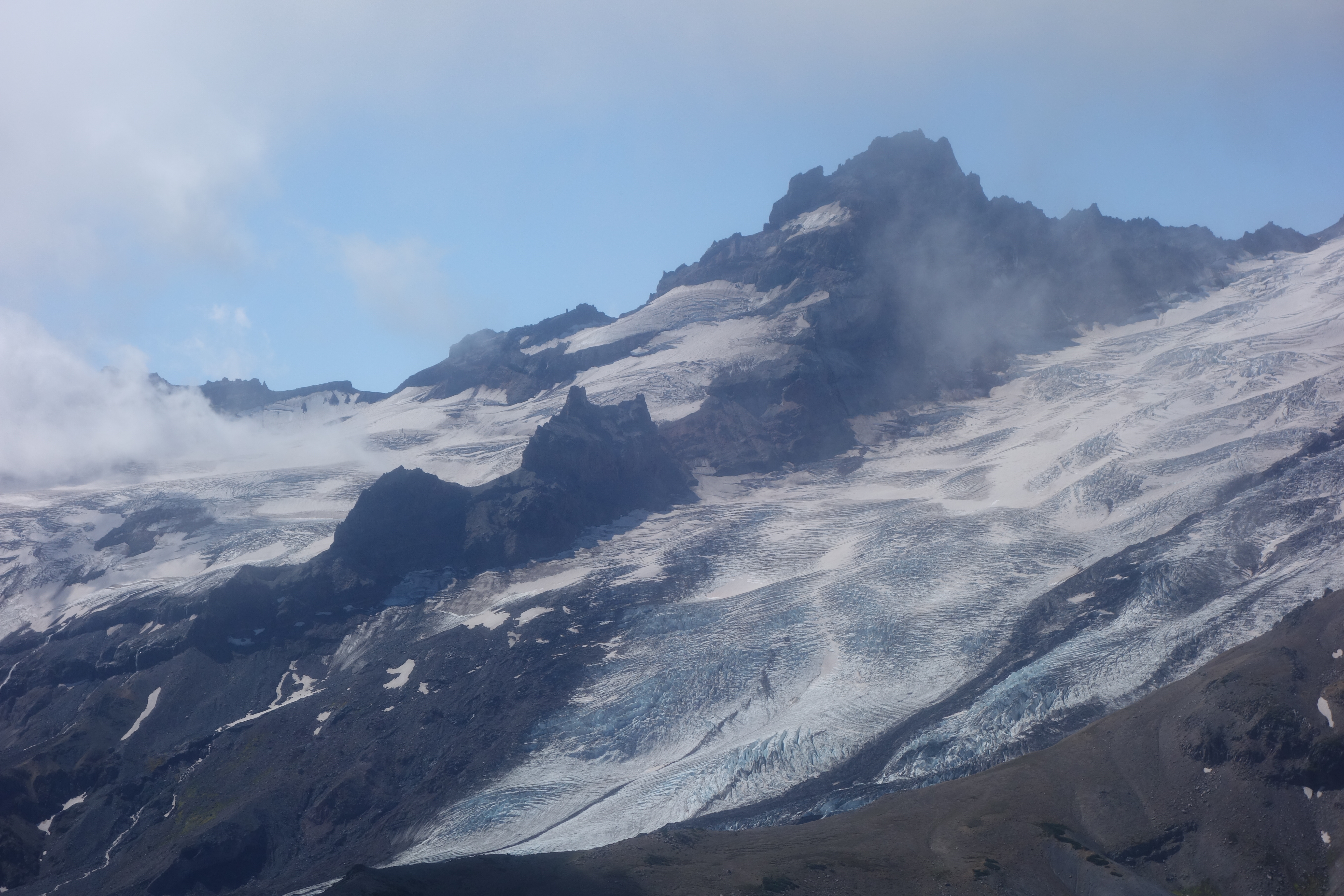 Lower Emmons Glacier and Little Tahoma
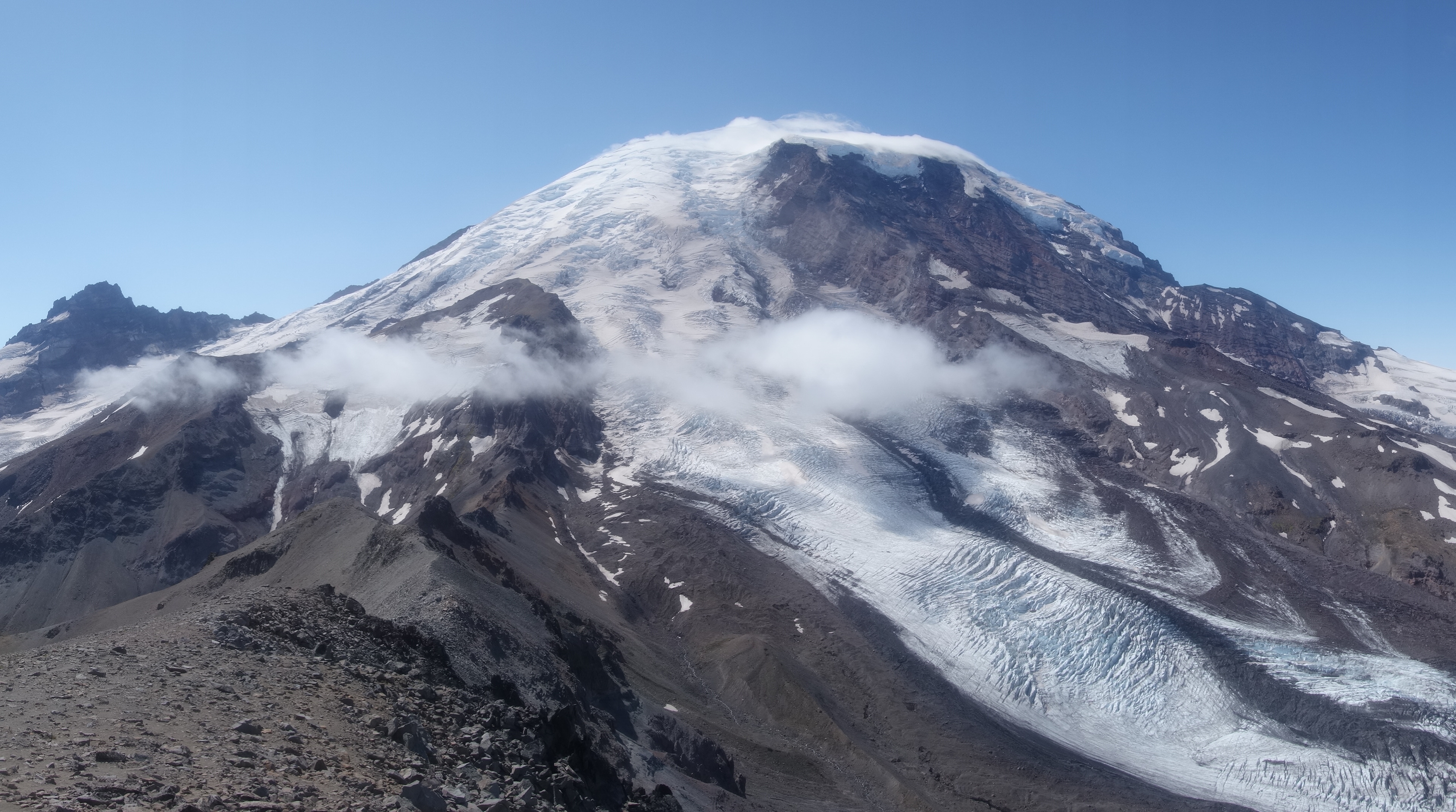 Inter Glacier at left, Mount Rainier towering
After passing Frozen Lake again, we took a different trail than before, up and down the Burroughs. The farther we went, the fewer people we saw. Eventually we got to the top of the third Burrough and stopped for lunch and a view. We seemed to be in the rare situation where clouds were repelled by the mountain and so had full view of the mountain, but farther away (behind us) the clouds were still thick.
After a while we headed down, back over the other two Burroughs and back to Sunrise. It wasn’t too late so we decided to go to Tipsoo lake at nearby Chinook Pass.
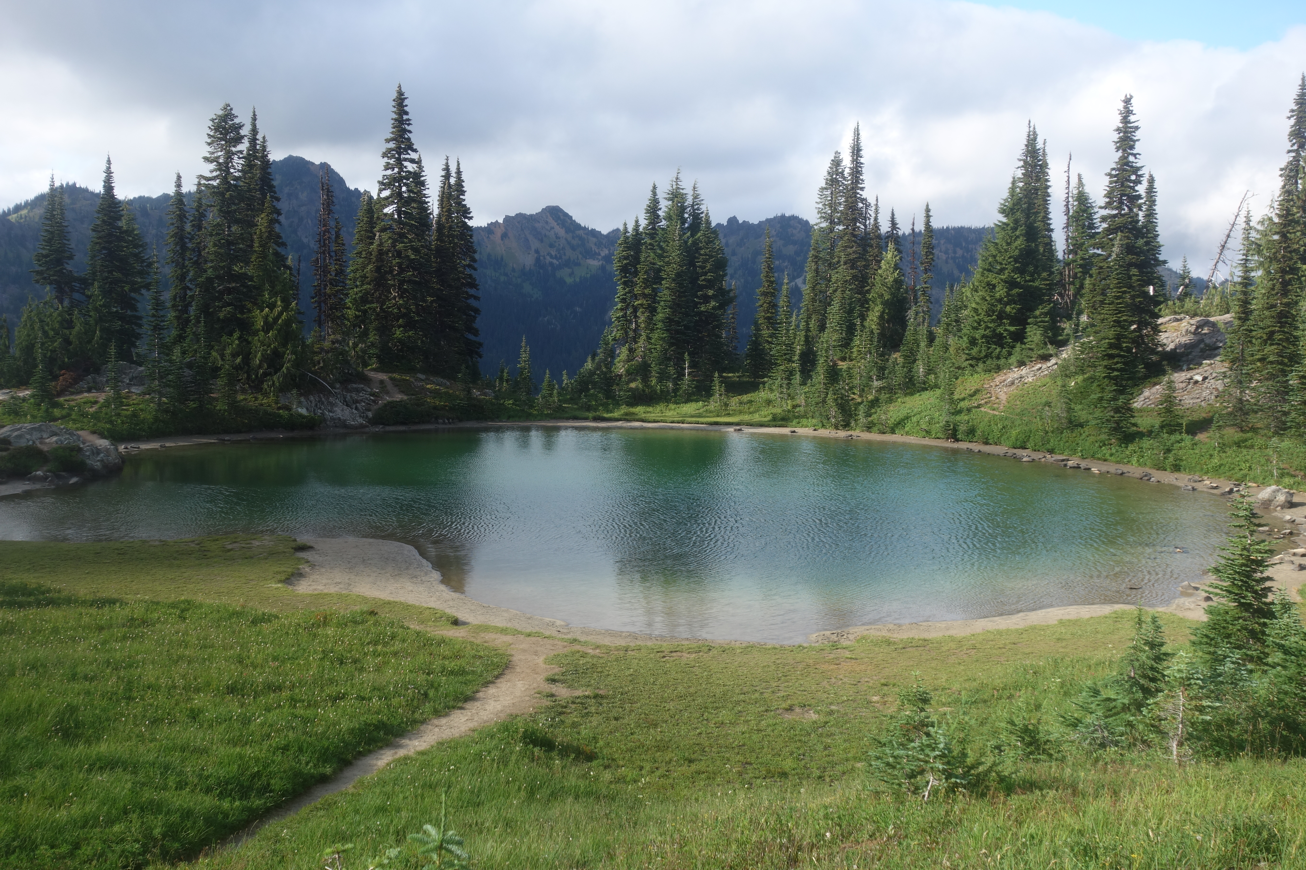
There’s a 4 mile loop at Chinook Pass which goes around Naches peak that coincides with the Pacific Crest Trail, so we wanted to check it out. It was cloudy on the west side of the pass, but as soon as we got to the other side, it was perfectly clear. We saw some cool lakes and met a couple of PCT through-hikers only a couple of weeks away from their finish. When we had to swap to the other side of the pass again, the clouds immediately socked in again, although lighter than before. Tipsoo lake looked pretty, but also busy being next to the highway.
Now it was getting late so we drove back to the campsite and turned in for the night.
 Chinook Pass, PCT
 Lake near Chinook Pass
 Tipsoo Lake looking eerie
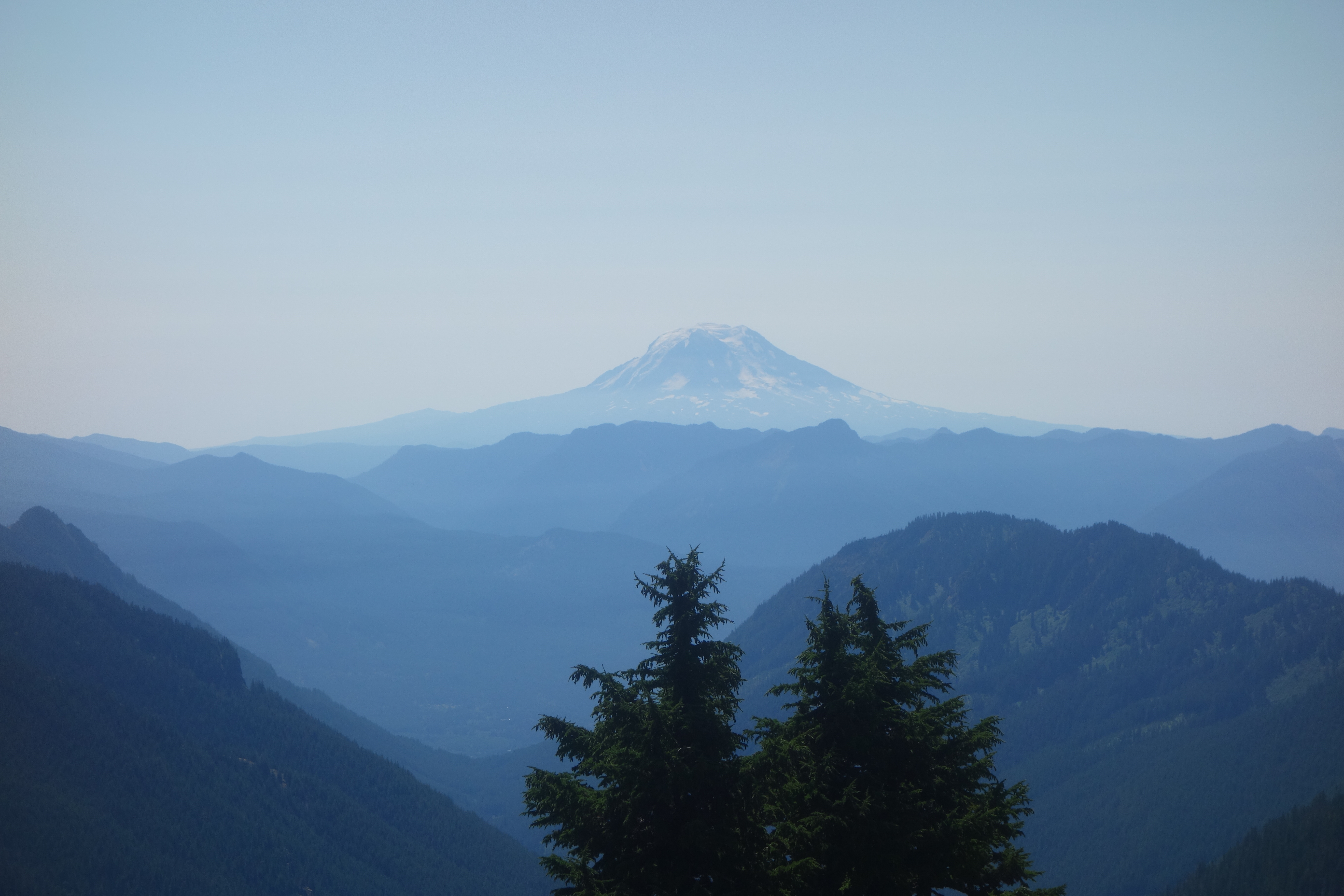
Monday was unfortunately forecasted to be the best weather, and it did turn out that way - perfectly bluebird skies, yet not too hot. We packed up the campsite, and since Maddy had never been to Paradise in the summer aside from the rainy day Saturday, we decided on a short day at Paradise before we drove home. We found a short 3 mile hike going up into the Tattoosh range to reach a saddle by Pinnacle Peak which had fantastic views of Rainier, as well as the Goat Rocks, Mount Adams, and if you tried hard, Mount Hood and St Helens. You had to go east at the saddle for a minute before St Helens would peak out behind a shoulder of the mountain.
We practiced our jumping and handstand pictures, found another posing marmot, and soon headed back to the car and to home.
 Mount Rainier from Pinnacle Peak with marmot
 Mount Adams
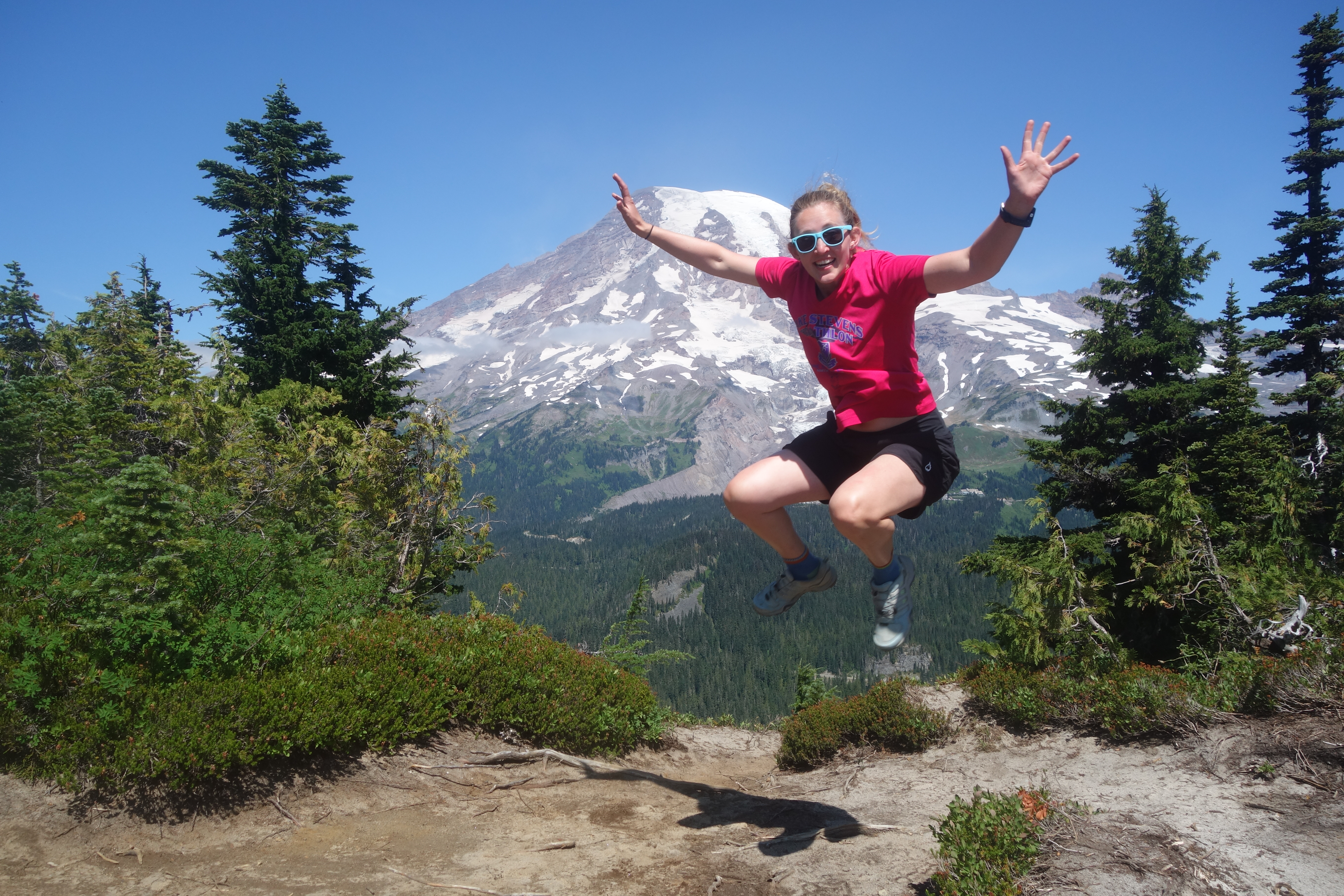 Jumping
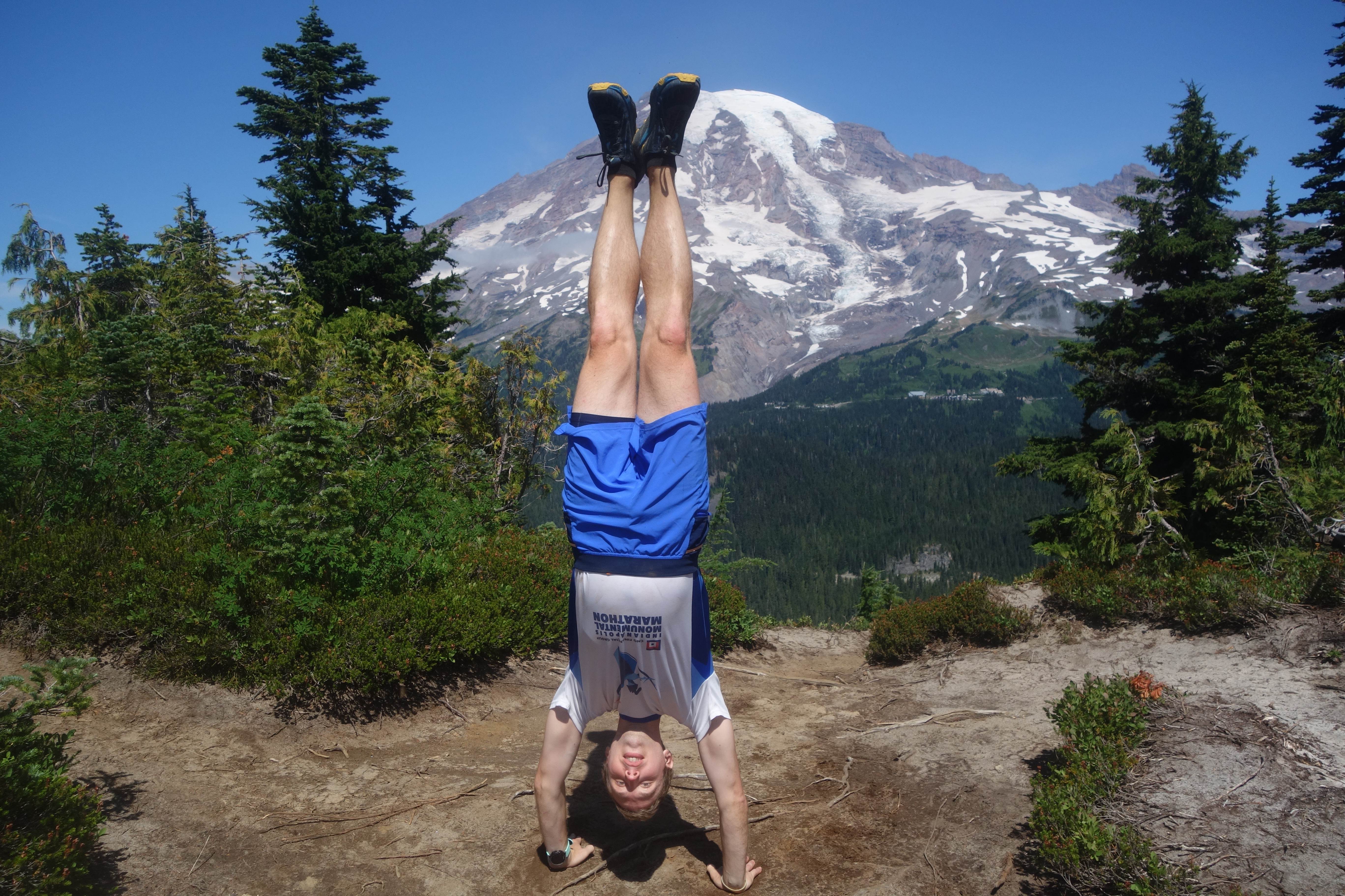 Handstand
Strava Panorama Point in the rain